
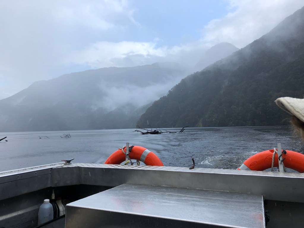
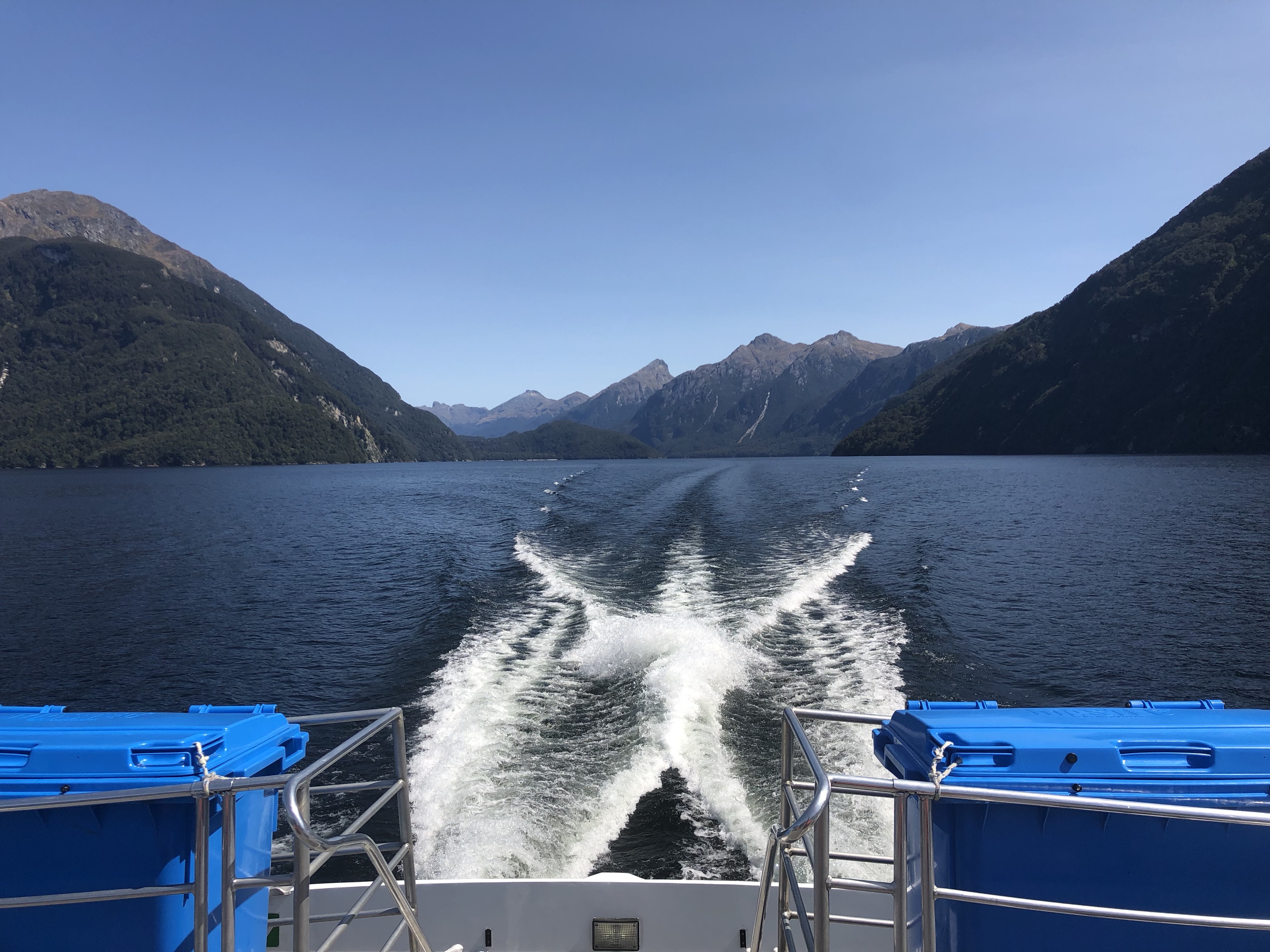
“Are you nervous or excited?” asked Taylor, one of the five people on our 45 minute boat ride to be dropped off to start the Dusky Track, as our boat pulled up to shore. It was a very valid question, and I think everyone had some feelings of both as we hopped off the boat to start one of the most isolated treks in New Zealand. Less than 1,000 people a year do the Dusky Track, and our boat operator reinforced how isolated it is when she said that she would be back in four days if we decided we wanted to back out.
The Dusky Track is a 68km (43 miles) hiking track that normally takes 7-8 nights to complete. The reason for the absurdly long time is that there are 23 rivers/ravines with three wire crossings and dozens of streams, rivers, and gullies without any crossing assistance, and kilometers of thigh deep mud, and more tree roots than you have ever seen. When it was first established, there was a disconnect between the track marker and the track builders, wherein the direct line was marked, but the builders were suppose to put in switchbacks but decided to build the direct route instead and install chains that you can use on the verticals sections… Needless to say it is a type 2 fun track that Katy wanted nothing to do with.
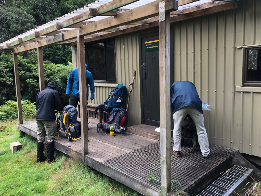
We disgorged from the boat onto the bank of the deepest lake in New Zealand and headed to a hut nearby to prepare to head off. Sandflies are nasty small flies that typically hover waist level and lower. Their bites sometimes pinch when they happen but can itch for three weeks. They are a very unpleasant creature, and unfortunately the track is full of them, including the first hut. I had no desire to stay and be bitten by sandflies as people were eating breakfast, since I had already had four sausage rolls. I instead started the hike.
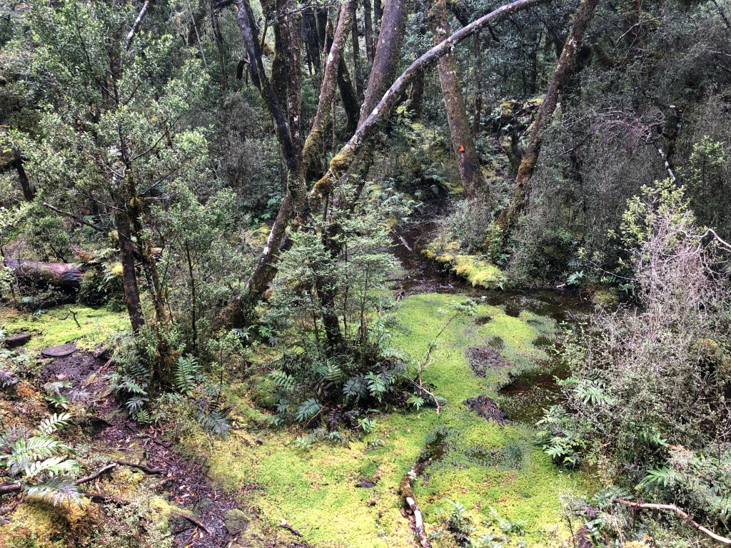
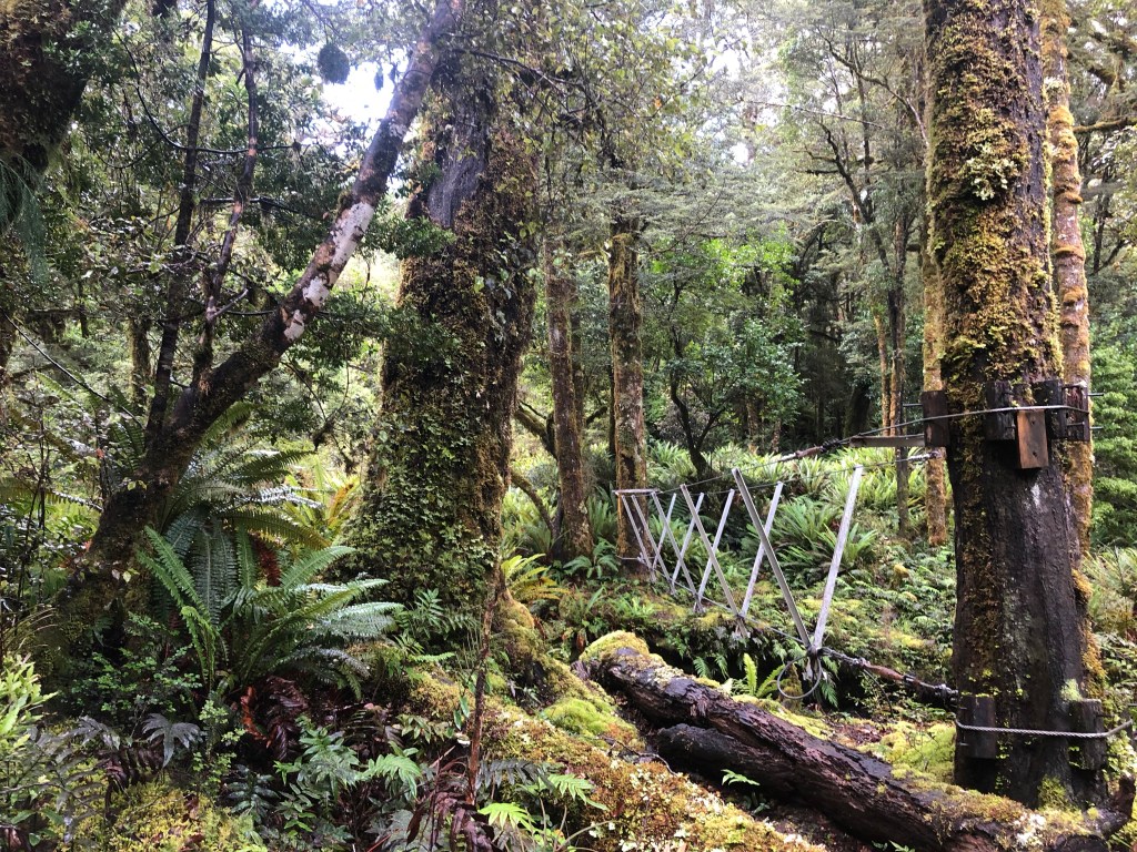
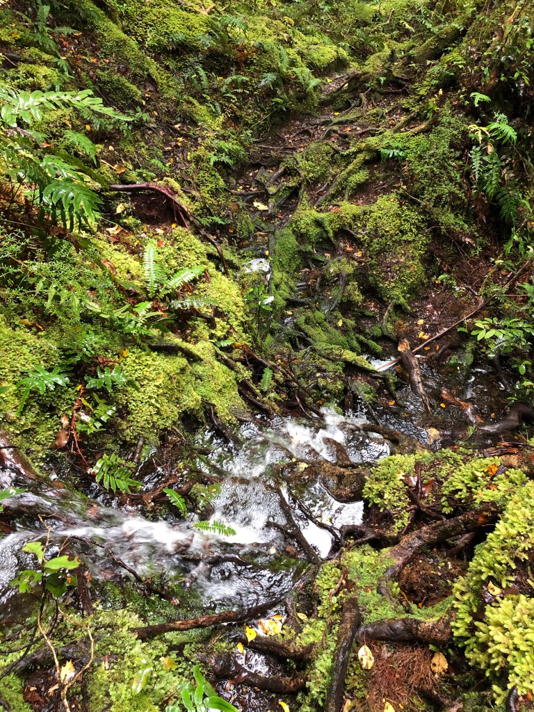
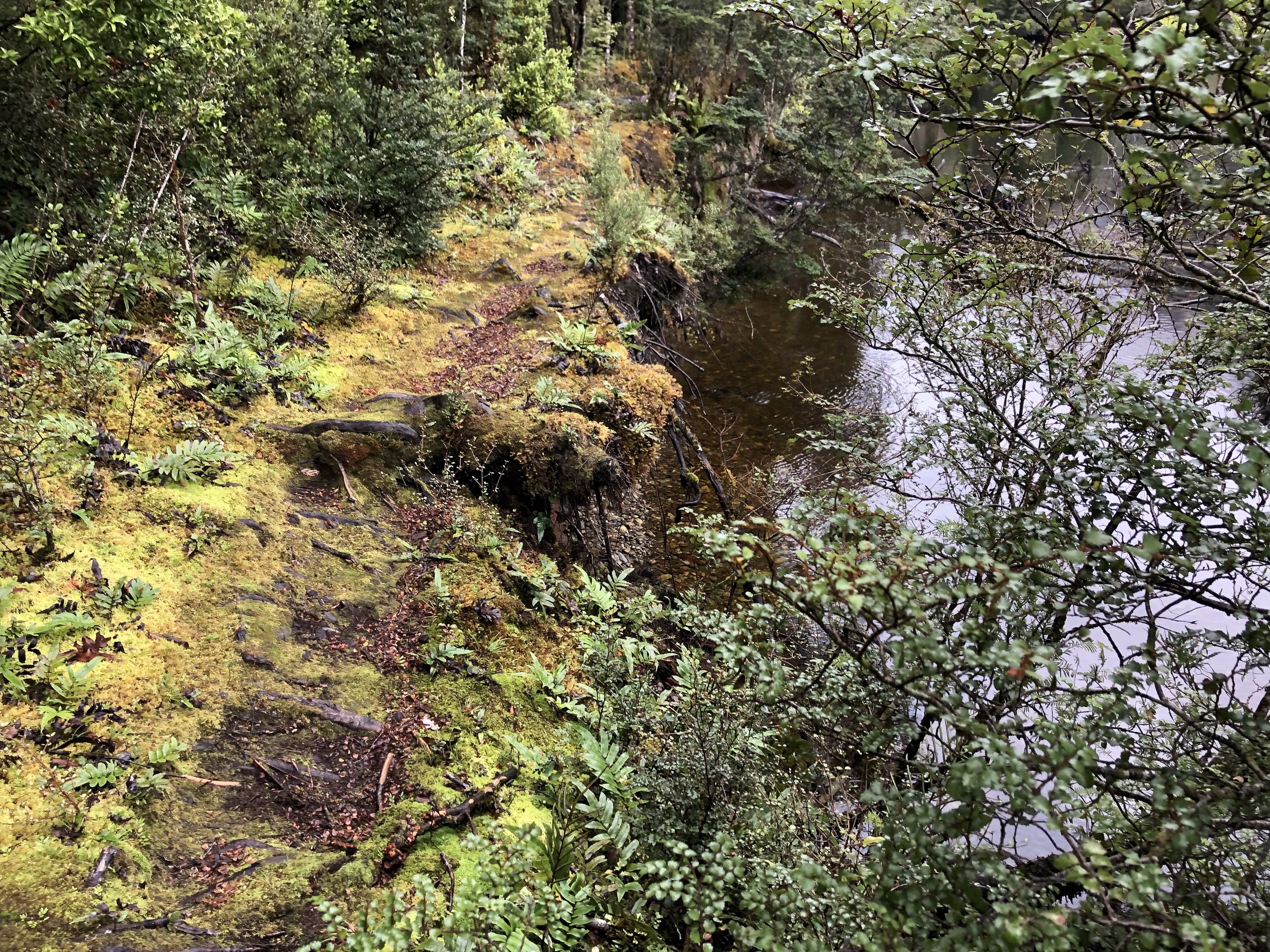
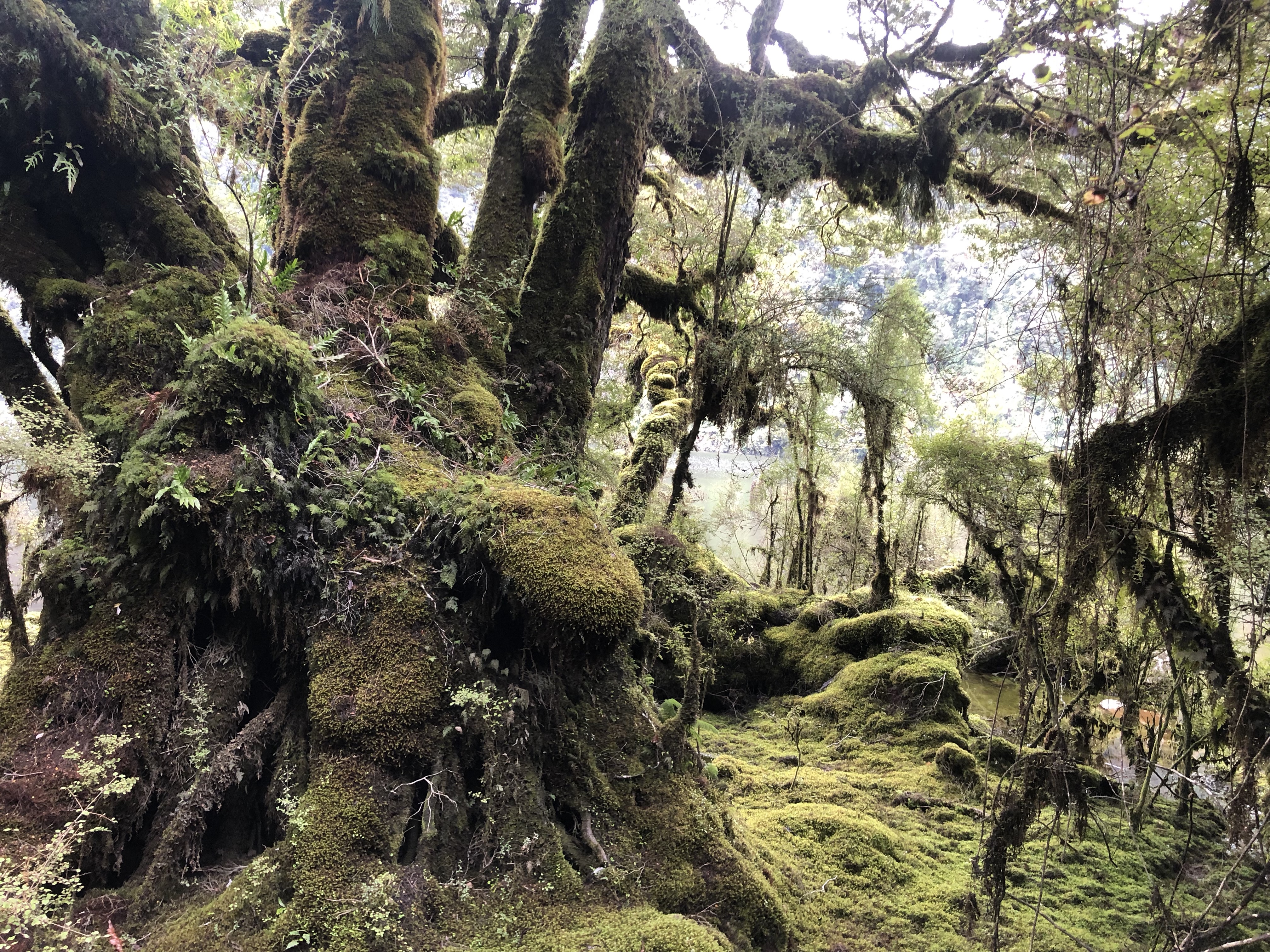
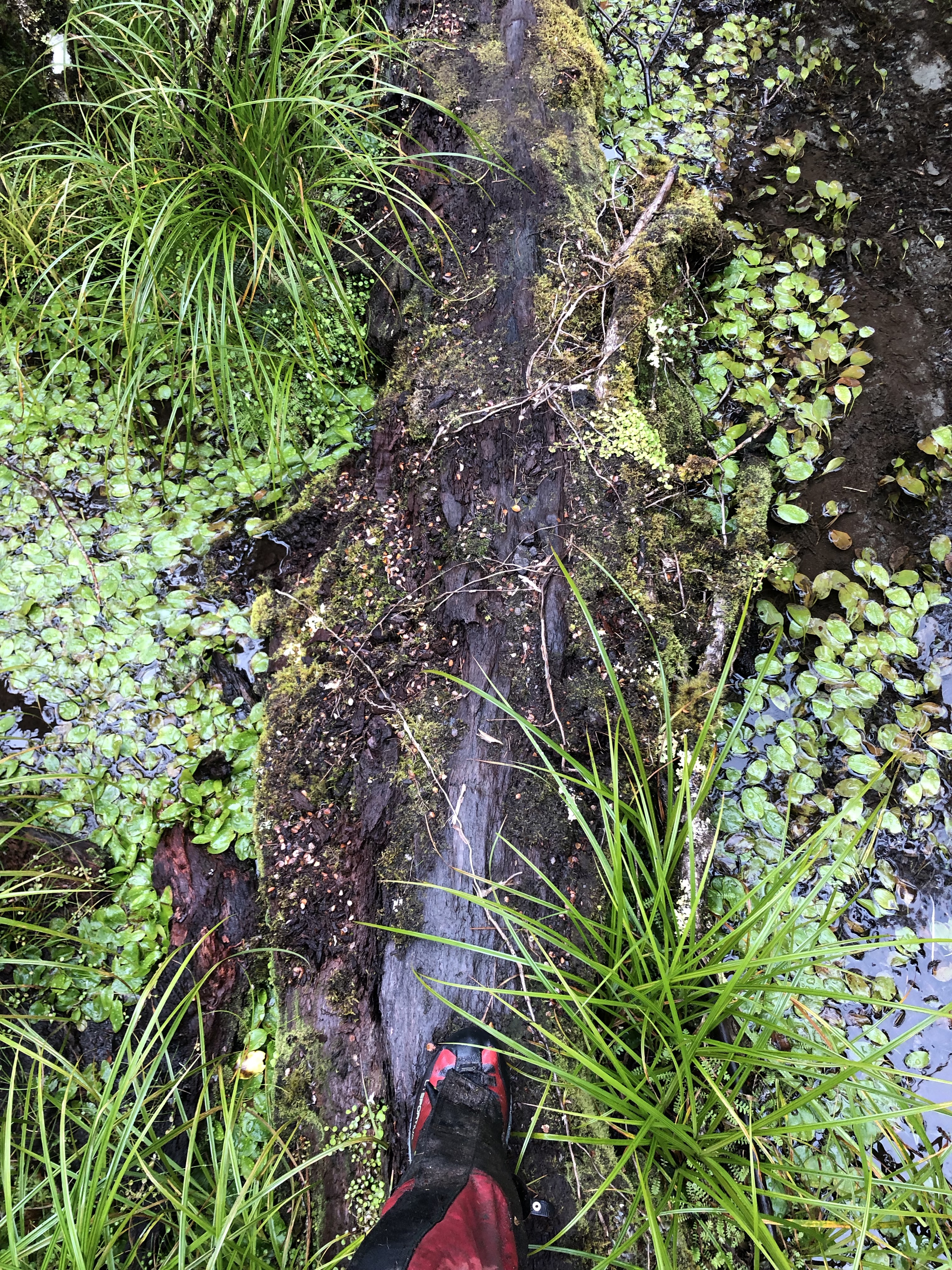
New Zealand has made many very well formed great tracks. This is not one of them. The entire first day I do not think I was able to put 15 steps together in a row without needing to avoid a stream, mud pit, or other obstacle, which makes for slow going. The entire area is wet, and the water has learned to take the path of least resistance, which is the track. I started my trudge in the rain, dodging tree branches and mud. After about an hour I made it to the first of 23 three wire bridges. It was actually fairly manageable and not very unstable. Many of the bridges have debris stuck in them from when the water has risen.
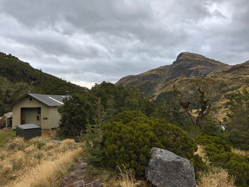
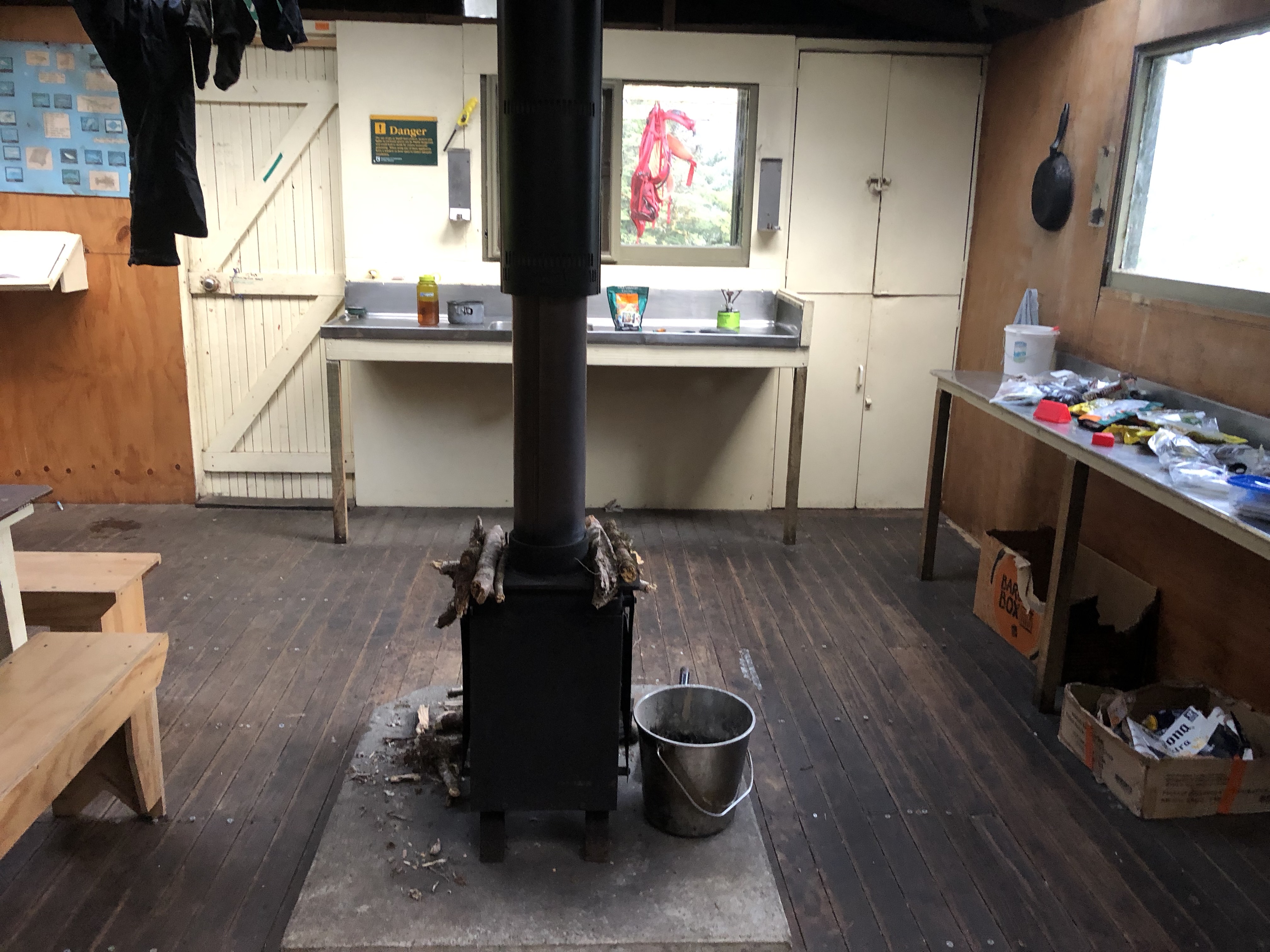
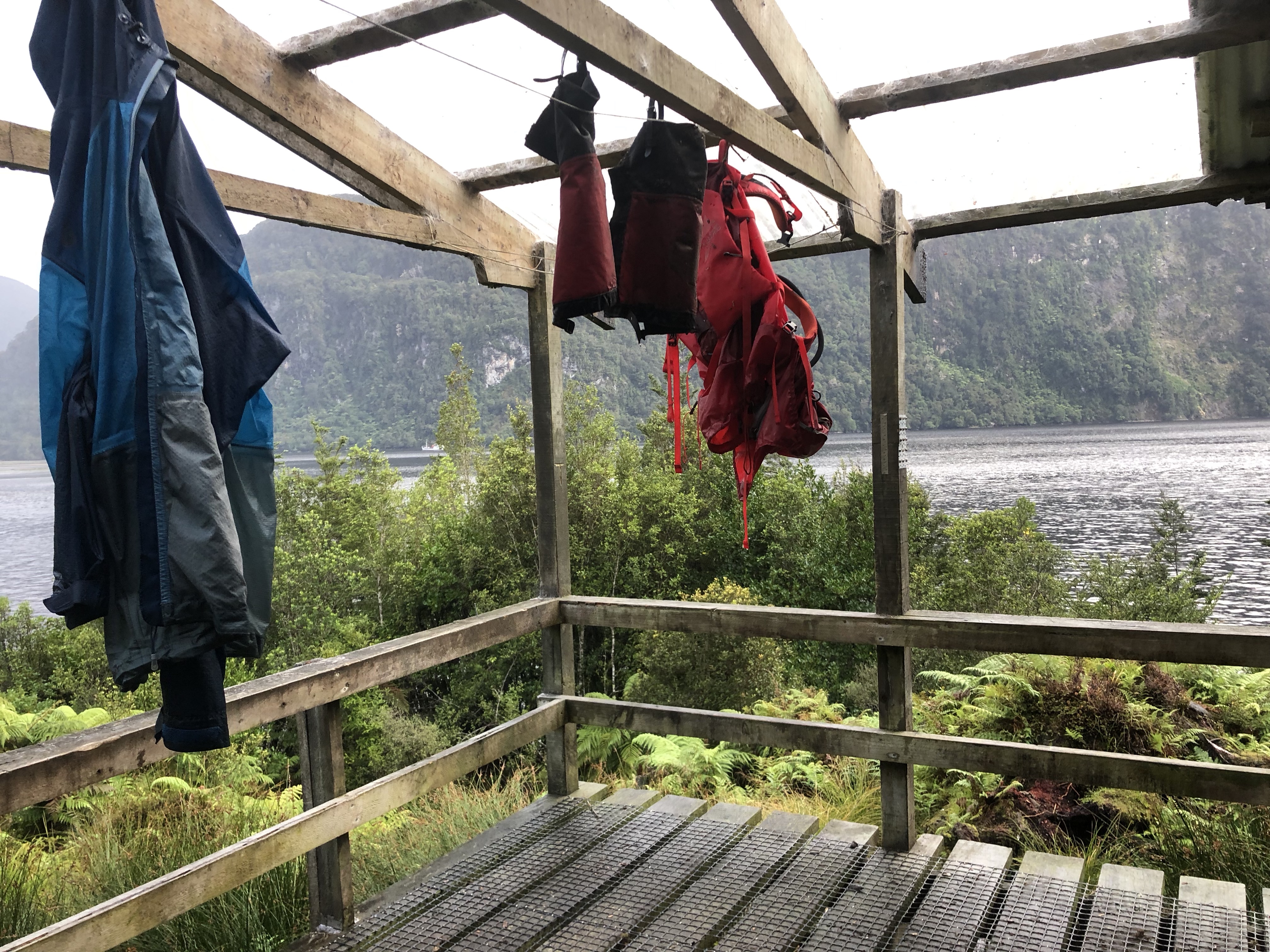
During my first boot adjustment one of the guys caught up with me, but I shortly passed him and did not see another person for over 24 hours. I made it to the first hut around 3pm and tried to dry my feet, taking off my boots and socks and eating some lunch in the hut. There were not any sandflies around when I first got to the hut, but they sure did come out after 5 minutes. The sign on the door of the hut “shake the sandflies off you before you open the door” speaks volumes about how miserable the sandflies can be.

After a 20 minute break and a recharge of soppressata and sharp cheddar, I headed out. Most people spend the night at the first hut, but it is less than four hours to the next one, and it was only 3:30, so I decided it was too early to call it a night The path had turned to a stream, and any dryness my feet had achieved was quickly undone. The last hour of the hike felt like it took FOREVER. I do not think that I ate enough during the day. I did not know how many days I was going to be on the trail, so I packed for a lean 8 days and a comfortable 5 days. I finally reached the top of the mountain and my hut, which was empty. When I took my pack off, I discovered that my rain cover had disappeared sometime during the last 3 hours of the hike. I put a note in the hut, hoping the guys behind me would find it and bring it, but it turns out it was lost for good.
The second day of the track started with me thinking I would get a really early start and get going. My motivation was not there, and it was cold (the group the next night lit a fire it was so cold) so I ended up heading out shortly after 8am. It was great having the entire hut to myself since I employed the “Todd” organization strategy that had stuff strewn everywhere. I was worried about my fuel situation since I only brought 8 ounces of fuel for 4-8 nights so I ate some trail mix for breakfast and skipped a hot breakfast.
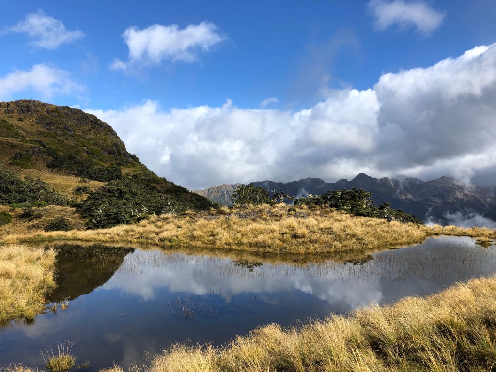
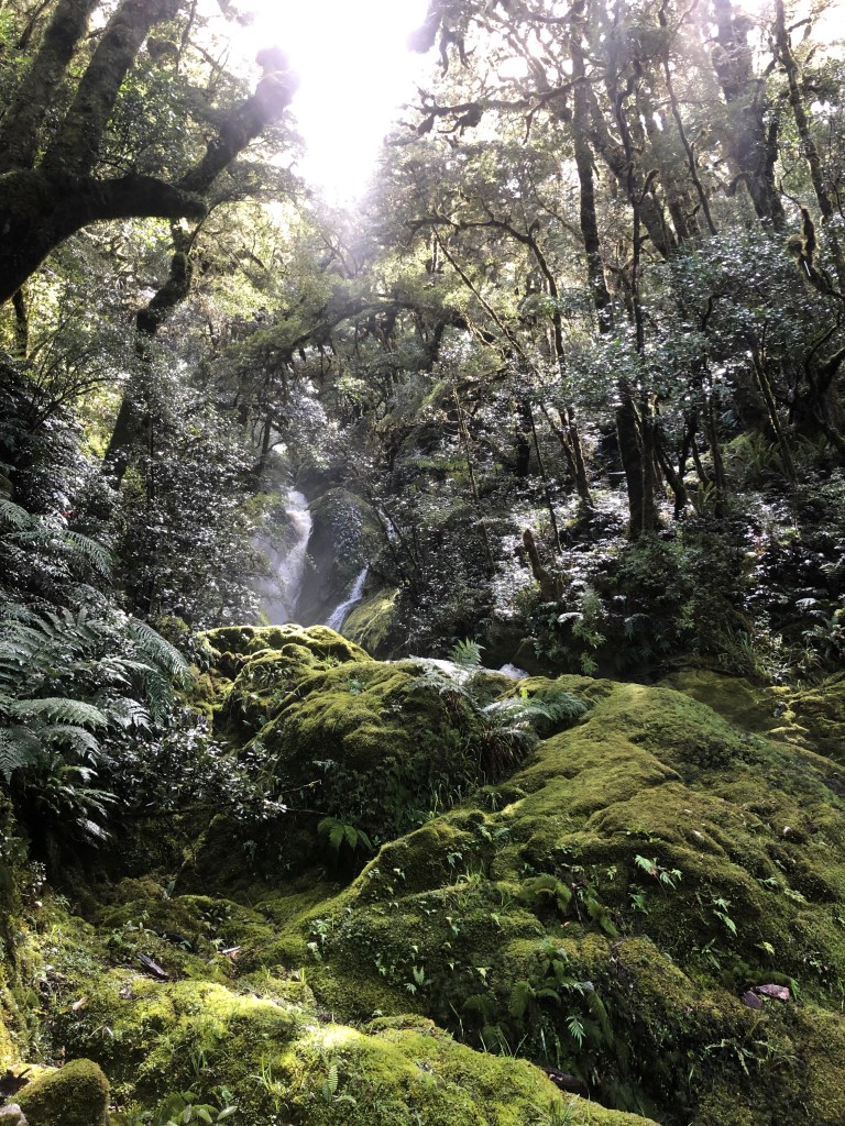
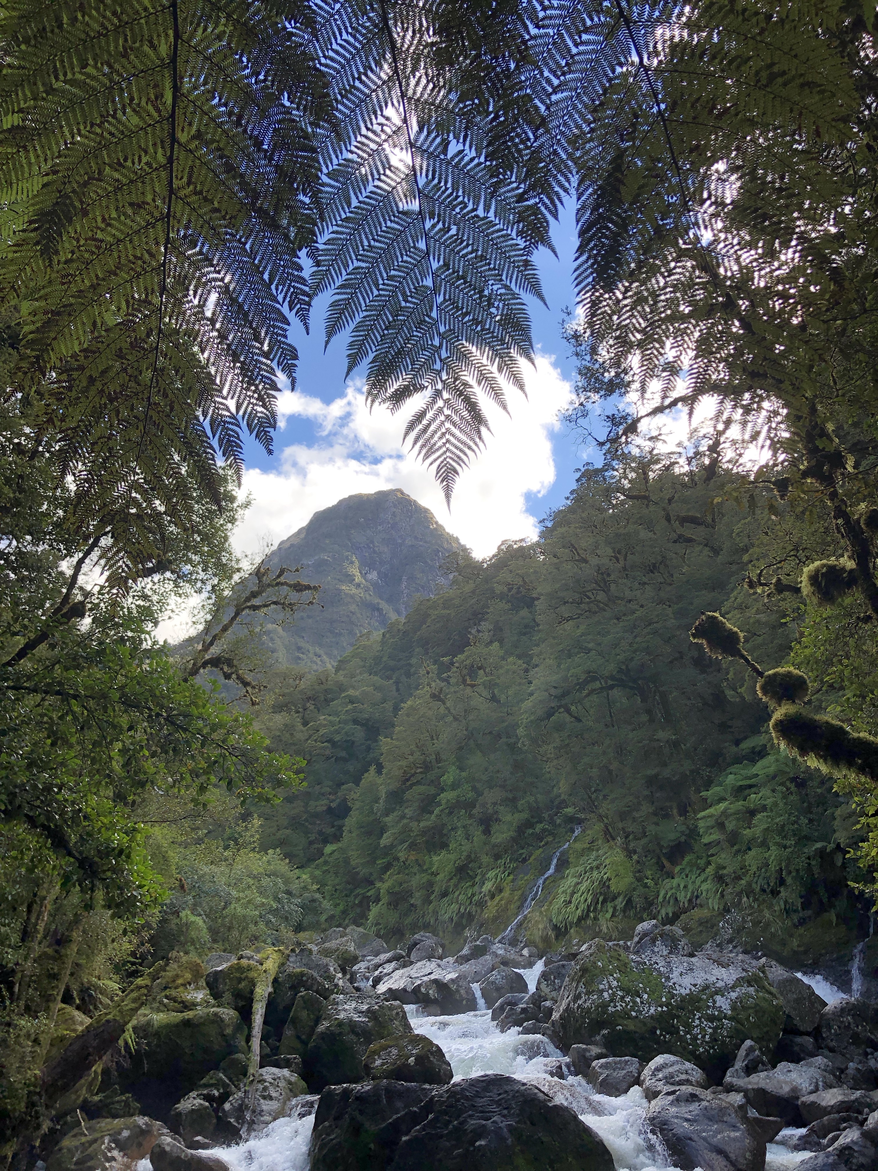
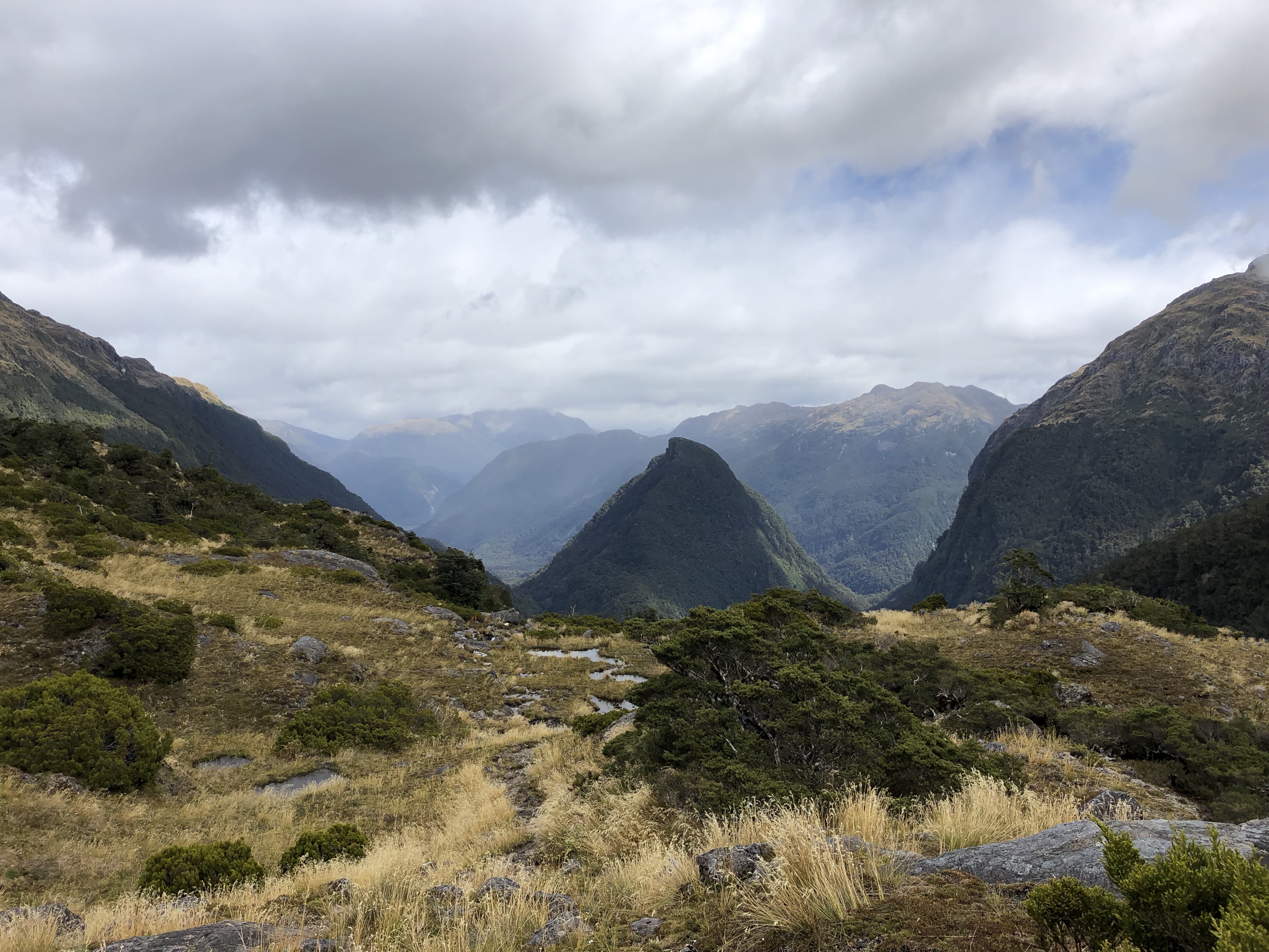
The weather was typical New Zealand Fjordlands, with rain, clouds, sun, and bits of blue sky. It was actually very pleasant, and the views from the top were pretty great, when they were not socked in by clouds. I thought that I was going to have a day without a bunch of mud, but the rain the previous night had turned the entire plateau into a mud pit which started less that twenty feet from the hut.
I made good time on the plateau and then hit tree line for the descent. This is where the day got interesting. The trail took the most direct route down, which is basically straight down. Whoever made the trail was probably sick of being eaten by sandflies and choose to forgo switchbacks or anything that would make the trail construction take longer. Luckily trees in New Zealand take pride in their stout roots, which double as hand holds.

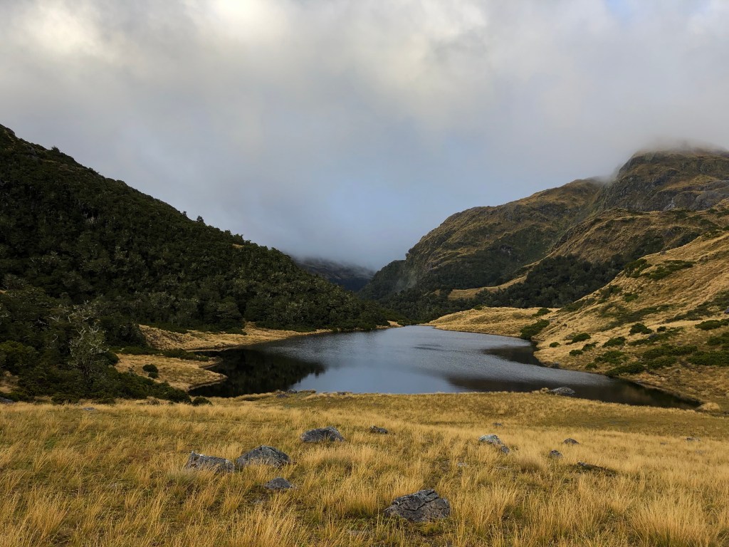
When I approached the bottom it was time to see how the day would turnout. At the bottom of the mountain there is a swamp that is prone to flooding, a river, and then the hut. There is a ladder with 18 rungs that leads to the longest three wire bridge on the track to get across the river. When I got to the swamp, the trail was under a little water. I then spied the swing bridge, which had some debris stuck in it, but was substantially higher than the river. The ladder leading to the bridge had 14 rings visible which meant that the last 50 yards of the swamp was pretty flooded. I then prepared myself to get wet and plodded through the waist deep water to the bridge. It was raining at this point so I figured more moisture didn’t really make a difference.

I read that it was only 80 meters from the swing bridge to the hut and boy did it feel like a long 80 meters. I was ready for lunch, and in my mind the hut should have been right there, but there was a little hill to climb to reach it. I finally (read 5 minutes that felt like 20) reached the hut. After releasing my feet from the boots I went in the hut and discovered that there were four people there already. Three looked like they had no intentions of going anywhere and had spent the previous night there. The fourth person was had started the same place that I was going and was able to report that the trail was passable. This was a serious concern to me because everything that I read talked about all the stumps in the lake behind the hut and that they can indicate high water, and only a few were above water so I assumed that the water was higher than normal.
After a repeat of yesterday’s lunch, I set off. This was a longer section, taking over 6 hours. It was the only section that I did not beat the estimated time on and that was due to the weather. The entire track is really really weather dependent, and if you are trudging through mud and have deep streams/rivers to cross, it really adds a lot of time.

The river crossings were really high on this section, and there were definitely some sketchy river crossings on logs. The nice thing is that there were a couple kilometers that had dry trail, on which you could get a decent pace, and was punctuated by roots and rocks. There wasn’t a single section in the previous ones that had “good track”.

At one point the trail was so great that there were a lot of small trails. I ended up getting off the trail and a little lost. My GPS didn’t like the fjord cliffs so I couldn’t figure out exactly where I was. I chose to continue on and veer toward the river. I knew that the trail was between me and the river and I eventually found it, which was a nice relief.
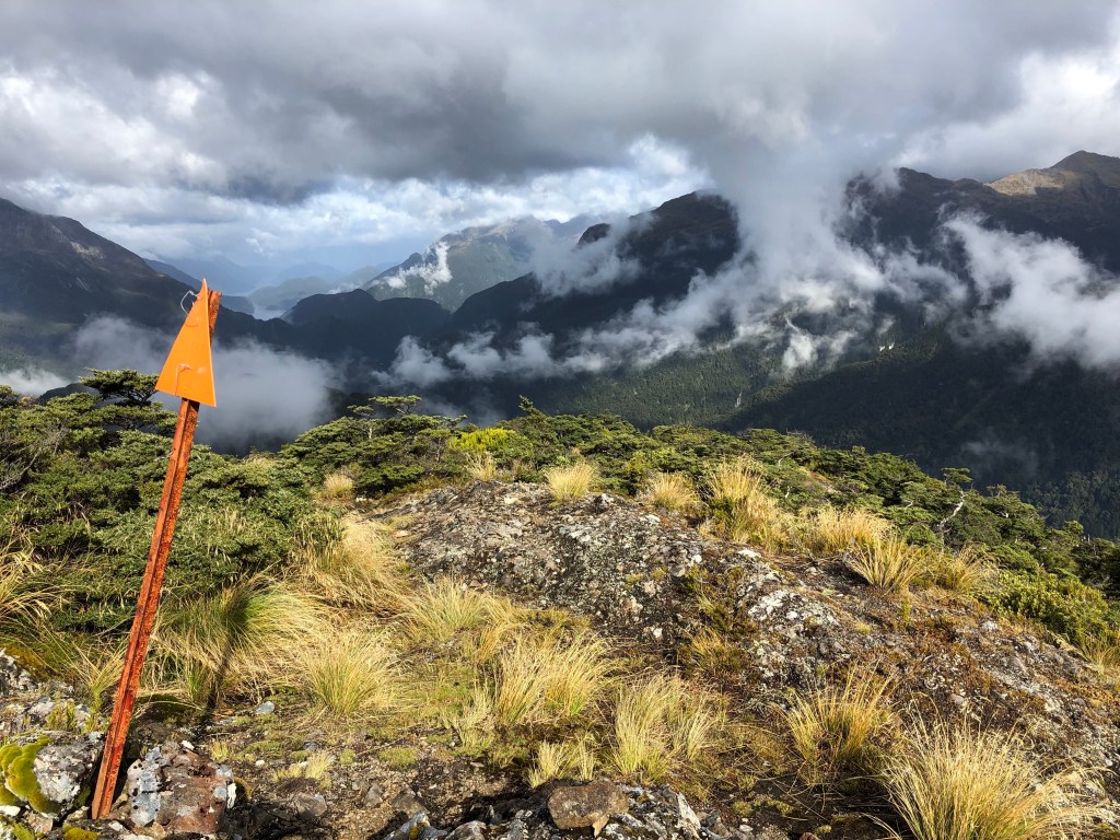
When I reached the sound, I had an option, either the low tide route or the high tide route. The low tide route is tromping through the sound, and the high tide route is a bouldery scramble that takes an hour. I couldn’t figure out if the tide was low enough for the low tide route, so I headed on the high tide route. It was a rough way to end the day, and I was pooped when I got to the hut.
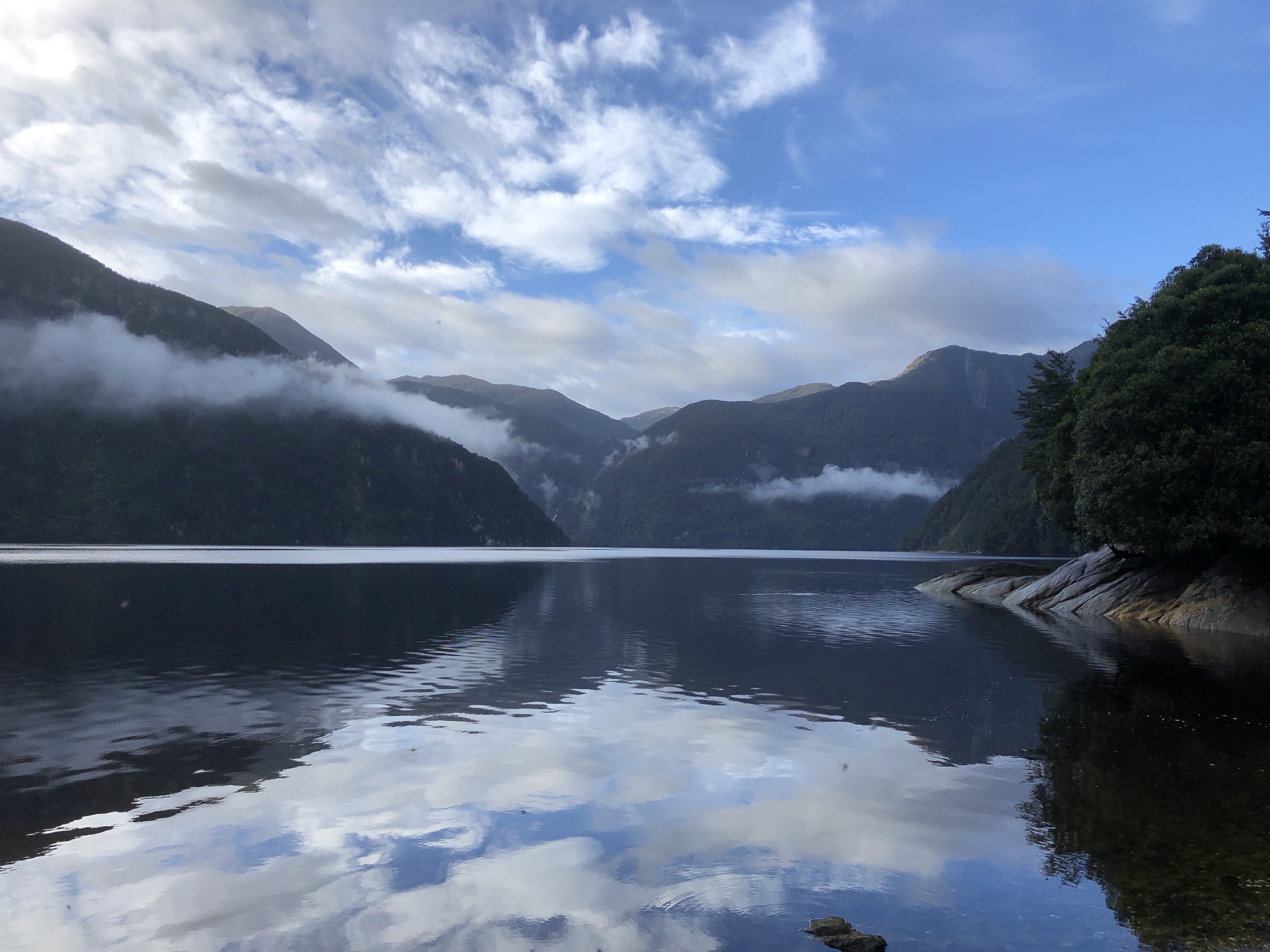
The hut was on the Dusky Sound, which is actually a fjord. There was a solitary fishing boat hanging out in the sound and still no other people. I hung up my stuff to dry (by this point my gators were full of mud) and went out to explore the sound. Since it was a low tide you could walk out pretty far. The sandflies were pretty adamant on getting to know you intimately if you stopped for more than 60 seconds in one place. I tried fishing with the landline and came up dry, so I gathered up some clams to add to my pasta for dinner.
The next morning I had a lazy morning and tried my hand at fishing again, but failed. This time I was prepared and had just about every surface area, except for my eyes covered. I decided to brave the low tide route since the appeal of going back through the high tide route was not there. I didn’t even bother putting on dry socks since I was headed straight for the sound. After several attempts at finding the passage through the channel and getting water up to my chest while holding my backpack over my head, I failed to find the route. I ended up skirting the shore for a bit, in deep mud and trees and finally make it to the conjoining point after about 45 minutes, with 20+ of those minutes walking through mud. You learn to appreciate the different qualities of mud while hiking on the dusky trail…

I was only heading back to the hut I bypassed yesterday, but this was not my day on the trail. At one point I got really frustrated because I thought I was on track to do the hike in 8.5 hours, far longer than the previous day. Well it turns out that I miscounted the number of three wire bridge I had done and was actually 20% farther along the trail than I thought. I made it to the hut around 3:30pm after a steady march with minimal rain!!! It was pretty amazing how fast the water rises and falls in the region. The trail was a lot less muddy, and I did not get wet on a single stream crossing. The lake was probably at least 3 feet lower than I had seen it 27 hours previously. Two of the guys I took the boat with were in the hut when I arrived so there was some lively hut conversation until we started reading our books that night. The main take away from the conversation was that people don’t like sandflies, and one of the guys was heading to the North Island after this since he was sick and tired of sandflies. When I took off my boats I discovered that I had a blister on my left heel and on one of my toes. I popped them both and cleaned them to prepare for the next day.

My fourth day on the track was another that I planned on skipping a hut. The first section of trail was pretty flat next to a river and is prone to flooding. The main trip report that I followed said they had thigh deep mud and river crossings up to their chest. I hit it on a good day. I was able to walk on logs over all the river crossings and only had mid calf deep mud. There were sections of the track where you could go for a couple minutes without running into any obstacles and also sections of the track where you were basically walking on tree roots. I have to say that trees in New Zealand grow impressive roots. The second part was a steep uphill. Right when I got to the uphill section, it started to rain so the rain coat went back on. I used tree roots as hand holds, and where there were not any tree routes there were stainless steel chains to use to climb up the rock faces.
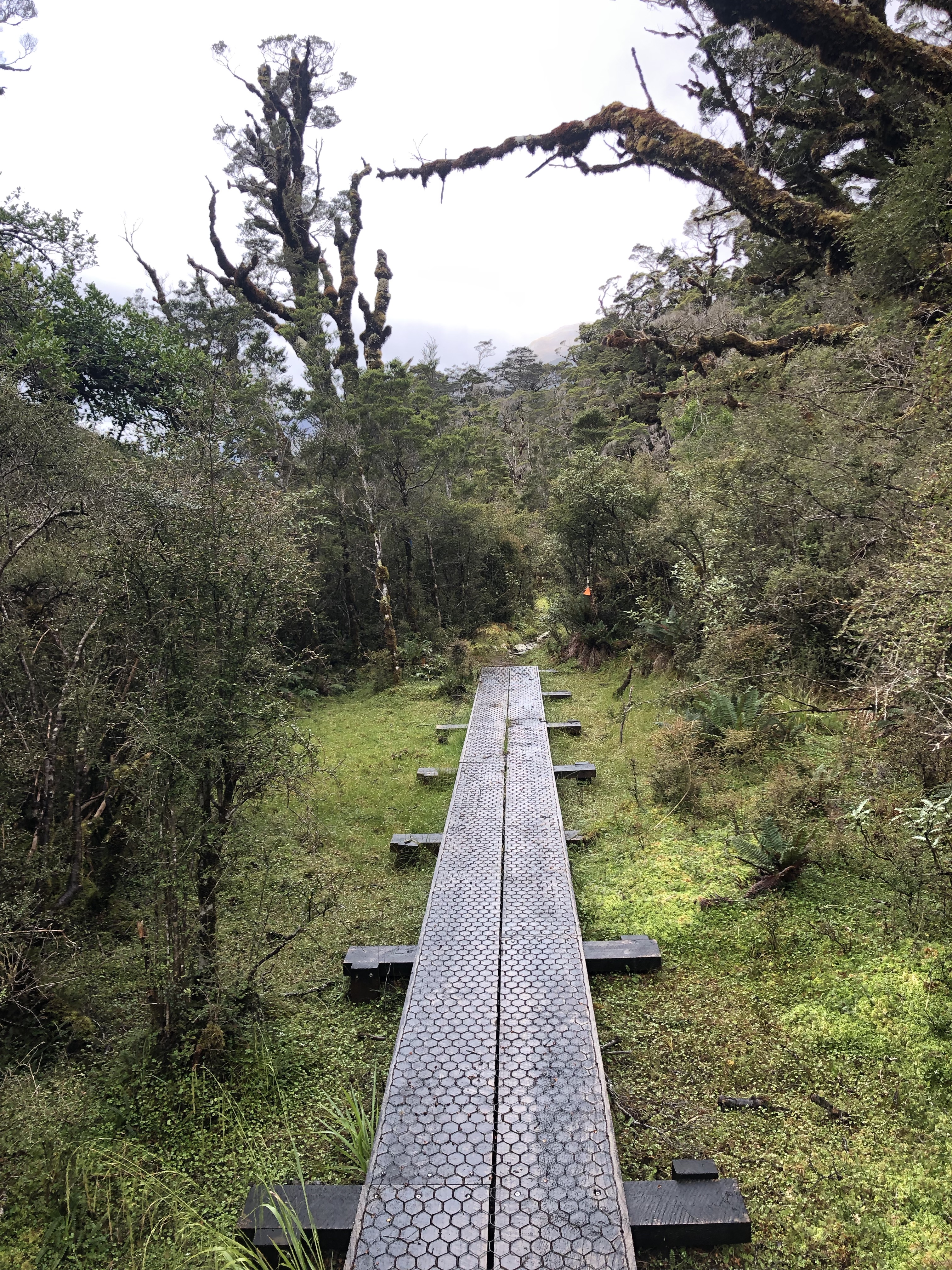
After an hour of uphill sweating in my rain jacket I arrived at the pass. Luckily the clouds broke a little ,and I got some views in before descending to the next hut. The last hut was set in a marsh, which some kind DOC workers had laid walkways around. It was glorious to be able to walk a couple hundred yards on walkways instead of sinking into mud.

The last hut turned out to be crowded. The two other guys I rode the boat with were there since they skipped the journey to the Dusky Sound and then three people from the previous boat were also there. I ate a victory oatmeal with melted chocolate after dinner to celebrate that I was almost done with the hike.
The final day was an uneventful hike out. No real great views until the end, but the weather was fantastic. No rain.

I was told that there were three ferries leaving at 11am, 230pm, and 415pm. I got to the ferry terminal at 1:30pm, and there was a ferry there that I was literally able to walk on, and it left 5 minutes later. Talk about great timing. I was the stinky person on the ferry, since I had only brought two shirts on the trip, one for the huts and one for hiking. The ferries exist because there is a power station there, and it is also where tours to Doubtful Sound pass through. I basically hopped on in the middle of a Doubtful Sound tour and paid $30 for the ferry back to where a shuttle picked me up to start the hike.
It was a great hike. I ended up loosing my toe nail due to the blister on the third day, but I somehow prevented it from getting infected. There must be antibiotic properties in keeping your feet submerged in mud. The hike is definitely one that Katy would not have enjoyed, but I am really glad that I got the opportunity to do.

Todd, you have my endless admiration, after visiting Doubtful Sound by boat, I can’t possibly imagine the hike you did!!! What an adventure! You are amazing, thanks for the great story and pics.
Really great story! I am glad you made it to the sound that everyone else skipped. Really impressive photos too!